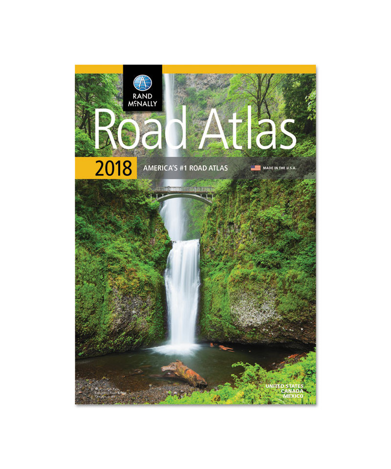
Updated North American atlas contains maps of every U.S. state, every Canadian province, an overview map of Mexico and detailed inset maps of over 350 cities and 20 U.S. national parks. Highlighted road construction projects and updates are located conveniently above each map. Mileage chart shows distances and driving times between 90 North American cities and national parks. Paperback.